Demos
Demos  Colors
 Docs
Docs  Support
 Geographic Information System (GIS)
Geographic Information System (GIS) is widely used to monitor and model earth features and processes. GIS enables collecting, processing, analyzing and visualizing spatial data. Geospatial databases provide unique opportunity to create dynamic links between geographical locations and spatially inter-relate information for making pragmatic decisions. Web based GIS technologies have further entrusted dissemination of location based information to reach the user roles. Important areas of application.
Information Management Systems for Agriculture, Health, Education, land, Environment, Disaster, Tourism etc.
- Spatial Decision Support Systems
- Vehicle tracking and fleet management
- Location based services
- Information system for emergency response
- Data Mining and integration
- GIS and database automation
- 3D and spatial modelling
- Field Surveys / GPS data collection and processing
- Advanced image analysis
- Geo-database design
- GPS / field deployment
- Web-based GIS/Mapping
- GIS Desktop Application Development
- GIS data format conversion to engineering analysis software
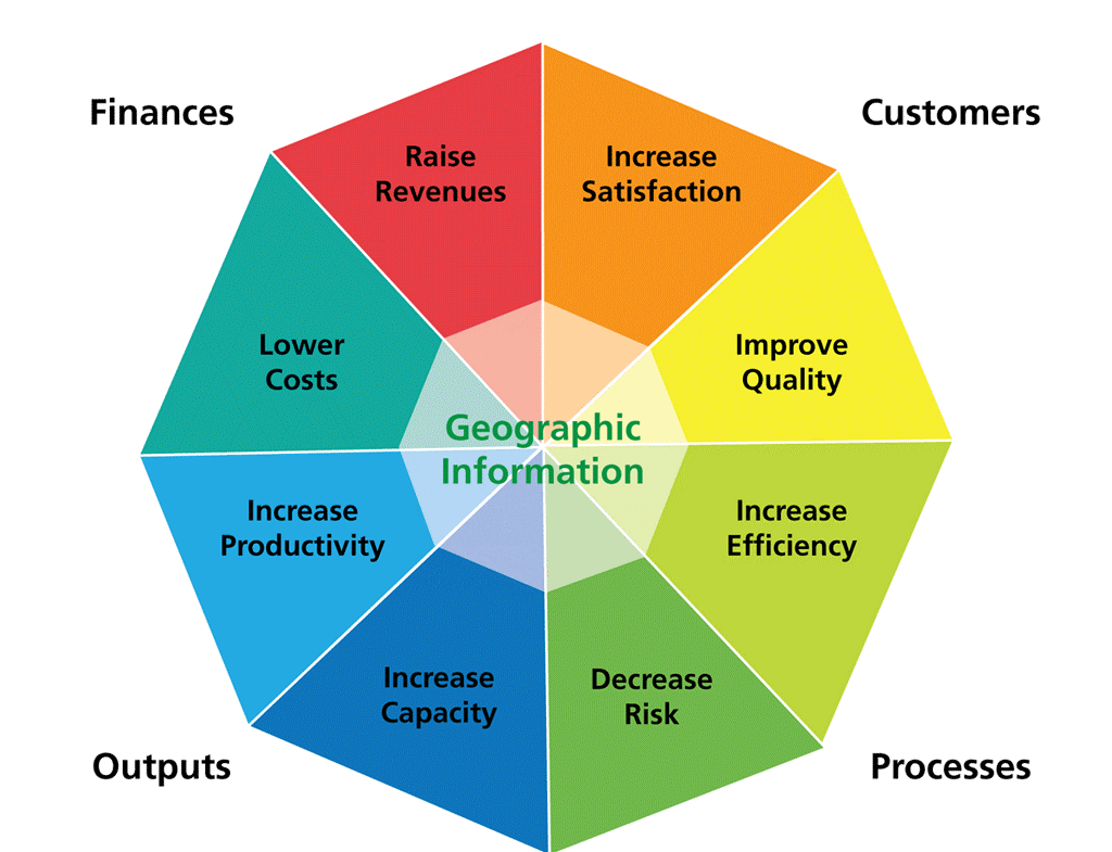
Benefits Spectrum
Our IT infrastructure Solutions
INFORMATION TECHNOLOGY (IT)
- Project Management
- Computerized Project Monitoring and Control
- MIS Design and Implementation
- Business Process Re-engineering and Benchmarking
- Gap Analysis
- Data Migration Strategy & Volumetric Analysis
- System Analysis and Design
- Software Requirements Specifications (SRS) / Functional Specifications (FS) Development
- Request For Proposal (RFP) for Software, Hardware and Networking Projects – Networking (Including Wireless Systems)
- LAN, WAN Administration & Provision of Internet Services
- Software Development
- Quality Assurance Procedures and Guidelines
- IT related GIS
- System / Network Security, Data Integrity and Encryption Solutions
- Digital Identity Management Systems
- IT Training
GEOGRAPHIC INFORMATION SYSTEM (GIS)
SATELLITE IMAGERY INTERPRETATION
Identification of the type of satellite imagery required, acquisition, registration, enhancement, interpretation, classification and satellite image map production.
MAP DIGITIZATION
Digitization of maps using vector GIS and Computer Aided Design (CAD) systems, scanning, raster-vector-raster conversion, map joining and attribute attachment.
DIGITAL TERRAIN MODEL
Digital Terrain Model (DTM) development using GPS survey, stereo satellite imagery, contour digitization and interpolation.
GLOBAL POSITIONING SYSTEM SURVEY
Spot elevations, river cross sections, canal and road alignments.
GIS DATABASE AND MODEL DEVELOPMENT
Development of GIS databases consisting of thematic map layers e.g., land use, soils, elevation, geology, slope, roads, watersheds, floodplain map layers and their integration with hydrologic, groundwater, evapotranspiration, watershed and river flow models.
GEOGRAPHIC ANALYSIS
Least cost solutions, suitability maps.
MAP PRODUCTION
Map production at all scales and sizes.